Day 13: The long descent and the 200 mile marker
Date: May 12, 2017
Miles: 21.7 miles (34.9km), from mile 187.8 to Interstate 10 highway bridge.
Health: Legs are absolutely hammered. No new blisters though.
I woke up at 5:30am and peeked out from under my tarp. I saw no movement in Blü's or Justine's direction so I put my head back on my food bag which was working as my pillow. I need to start buying softer foods.

At 5:50am both Blü and Justine started waking up so I started to get my things together. Blü was done first as he was cowboy camping and started to head down the trail. Justine went next and I was few minutes behind her.
We had a long hike ahead of us today. We were hiking down from 8566 feet to about 1360 feet. This is the longest descent on the entire PCT. We had already descended part of the way, but we had the largest part still left for today. It would be a hard day.

Last of my water.
I was super thirsty but had to make it to the next water source with the half a liter of water I had left so only took a small sip. It was going to be tight but luckily we were going downhill all the way.
My legs were still hurting from the climb yesterday so I stopped to stretch them at one point. I would have no chance of catching the others now so I put on one earphone and started to listen to some music.

The trail snaked along the ridge line, at times going down one side, them climbing back up, only to go down the other side. My tired legs weren't loving the climbs and I kept wondering why the trail couldn't just follow the ridge line.
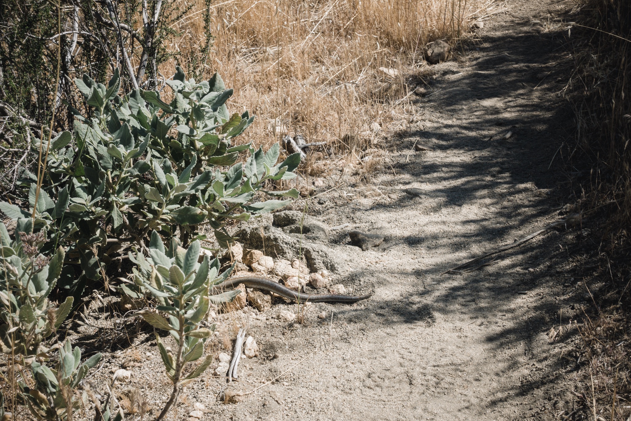
Snake.
Soon enough the ridge line ended and the trail started to head straight down into a pine forest. The grade was nice but that just meant doing endless switchbacks. I passed a fellow hiker doing his morning chores. I've never met him but we changed few words before I continued down the trail.

At one point the trail ended at an large campsite and I couldn't figure out which one of the trails leading out I should take. Right at that moment I noticed a hikers head disappear behind a bend of one of the four corners so I decided to head to that direction. I caught up with him quickly and he confirmed that I was still on the PCT.

Hiker for scale.
The sun was starting to get hot and I was still quite a long way from the water. I tried to look at the water report for any closer sources but noticed that the report I had ended at Idyllwild and I had forgotten to download the new one for this section. Took one more sip to keep the motor going.
The continuous downhill was taking its toll on my tired legs, and I finally ran out of water. I still had 1.9 miles (3km) to the water source and the sun was really getting hot. I cranked up the volume and started to push my legs harder to make it down faster.

Finally getting water.
Soon I got to a section where the trail was down and well graided and got in to the hiking flow. I love when you get into this mode. Everything feels so easy and the miles just seem to fly by. Soon I saw a bunch of hikers resting against a rock not far and saw the sign saying H2O. I was finally at the water source.
Blü and Justine were already there. So were Andrew, Dragon, and few other hikers.
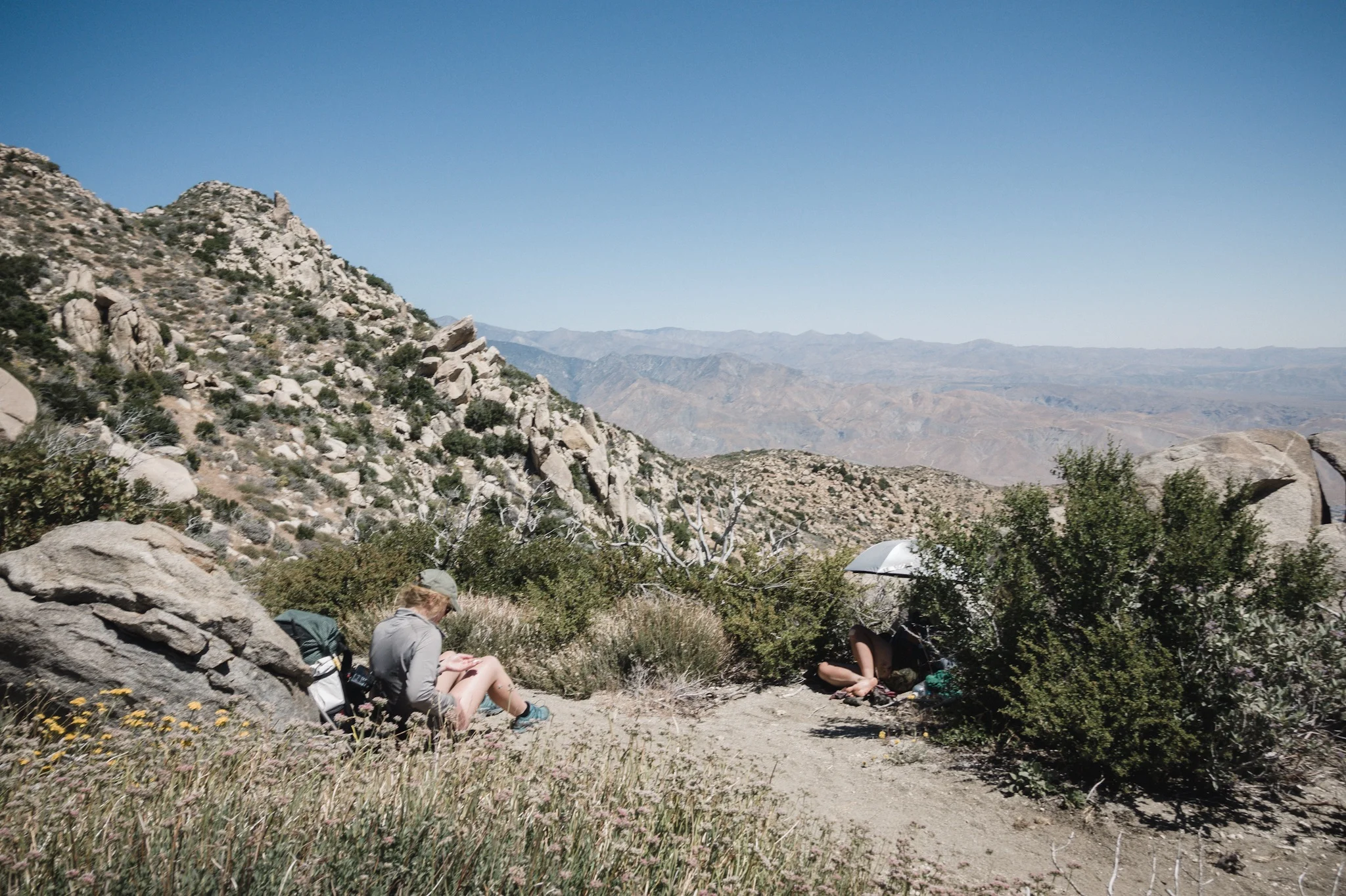
Short siesta.

Andrew.
I made my way down to the water and drank a good liter. Then I filtered two liters of water and filled the dirty water bottle so that I had a total of three liters. It should be about 10 miles (16.1km) to the next water source and the three liters and the one I cameled up should be enough.
We all left at the about same time but the trail was so beautiful that I soon stayed behind to take photos of the others as they made their way down the trail. After I got the photos I wanted I charged after the others, going downhill, trying to catch up to them.

200 mile marker.
We leapfrogged each other some time while going down, and eventually ended up hiking with Dragon. I wanted to stop in a shade for a siesta and she agreed. Finding a shade on sections like this is kind of like winning a lottery, meaning, there isn't much shade to be had.

Dragon (Pin) and the peak of San Jacinto.
After some time I found a nice spot but Dragon wanted to keep going so we separated. Once I got settled I noticed I had a little cell coverage so I answered some nice comments people have been sending me, and send some messages to friends back home.

Justine and Dragon (Pin).
I ate a lunch and the hiker I met earlier in the morning came by, asking if he could join me in the shade for a moment. We sat there for a while and he introduced himself, his name was Bob. He soon continued on and I kept enjoying the views and the shade.
As the clock started to get late, I continued to hike down but met Dragon and Andrew about a mile down, having a siesta in a nice shady spot so decided to join them.

Cooking in wind.
After a while we all headed down and tried to get to the water source. The climb today had been so long. We had descended all day and there was still a good way to go. After few hours we finally reached the water source, which was good as I was again out of water. We met Blü and Justine there. They had had siestas somewhere closer to the water and beat us to it.
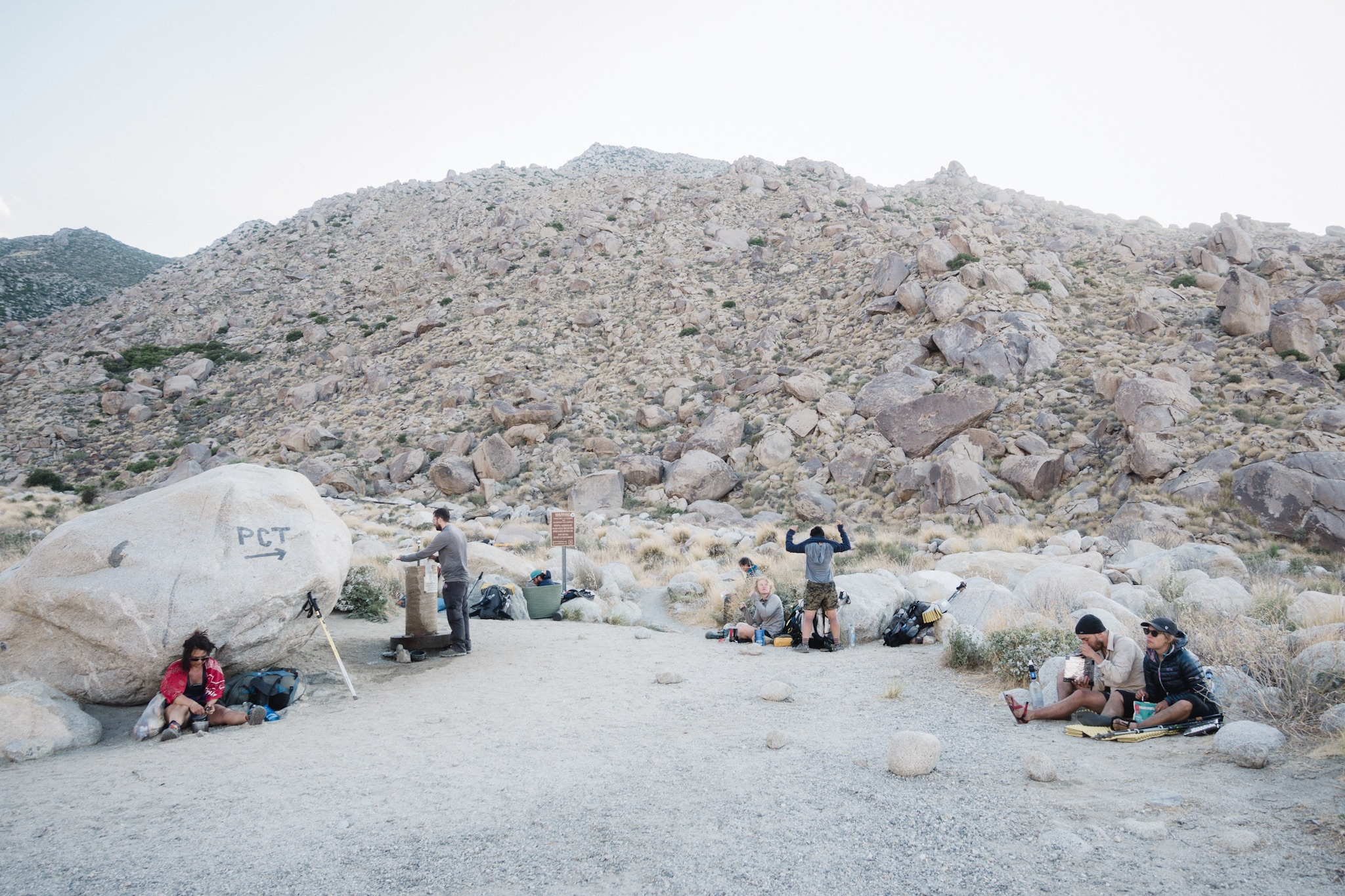
Everyone happily down from the mountain.
We ate some and then me and Blü headed out. While we had already made 18 grueling miles, we still wanted to cross the valley floor before the morning while it was nice and chill. Also, the spot close to the water source was so windy that it seemed like a poor spot to camp. We hiked on as the others stayed.
The trail changed to a concrete path and we arrived to a residential area. Soon we passed the houses and were back on a dirt road. About a mile in we saw a blue sign on the ground. "Coppertone 0.3 miles" – trail magic!

I've read about Coppertone from all the hikers from previous years. He travels along the trail and provides trail magic to hikers. In no time we reached his RV and met him. Airplane Mode was there but she was just heading out.
We ate some muffins and got bananas for breakfast. Coppertone is a super nice guy to talk to. He did the PCT some years back and for the past five years he has provided trail magic every year, moving north along the trail with the bubble.
We thanked Coppertone for his hospitality, signed the trail register, and moved out. We had a highway bridge to get to and it was starting to get dark.

Coppertone and his RV.
The valley floor was very windy. At times the wind would almost blow us off our feet. As the darkness fell it got more eerie. The buzzing from the power lines above made the whole thing even more eerie.
We quickly switched on our headlamps and hiked on. This was a boring section, and a one you don't want to do in the heat of the day.
As we finally reached the freeway bridge we saw two other headlamps underneath it. Airplane Mode and Bob were there and informed us there was trail magic. There were four coolers full of beer, soda, food, and a hiker box. This was more than we needed. I took an ice cold beer, felt like I had earned it after 22 miles. It tasted so good!
We sat under the freeway bridge in complete darkness, drinking ice cold beer and enjoying the trail magic. It felt unreal. Just a few moments ago we were in the wilderness, now there were cars and trucks going by up above us and four of us dirty hikers were underneath them wondering where to sleep this night. It was already well past the hiker midnight.
While Bob and Airplane Mode headed out, Blü decided to cowboy camp under the wooden bridge next to the main highway bridge. I studied the map and the first possible camp spot would be 3.9 miles out, next to Mesa Wind Farm, and by what I've seen from afar, it would be an exposed and not very good spot. Instead of trying my luck in the dark and wind, I set my ground cloth close to where Blü had crashed and crawled to my sleeping bag, feeling so tired.
As I looked up I could see the stars above me, and the exit sign for exit 110. The never ending noise of the highway and the freight train going past ever so often meant it would be a noisy night.
Hike the PCT, enjoy the nature, they said :)
Sponsored by:
![]()