Day 54: Approaching Mt. Whitney

Date: June 22, 2017
Miles: 16.9 miles (27.2km), from Chicken Springs Lake to Crabtree Meadow.
Health: Feeling good but tired. Three poorly slept nights and the elevation are making me tired.
My alarm went off at 4:50am. It was still windy outside and my tent was rocking. The wind whipped up after the sun went down and has been steadily blowing throughout the night. The temperature changes here are drastic and this causes winds to pick up every time the sun goes down.
I quickly setup my gear. It's funny how on the first days it took me so long to take down my camp. Now I can do it in less than 20 minutes.
I look over but none of the girls are up yet. I thought their alarm was set for 5am. I sit on my bear can and eat breakfast slowly. It's still quite cold.

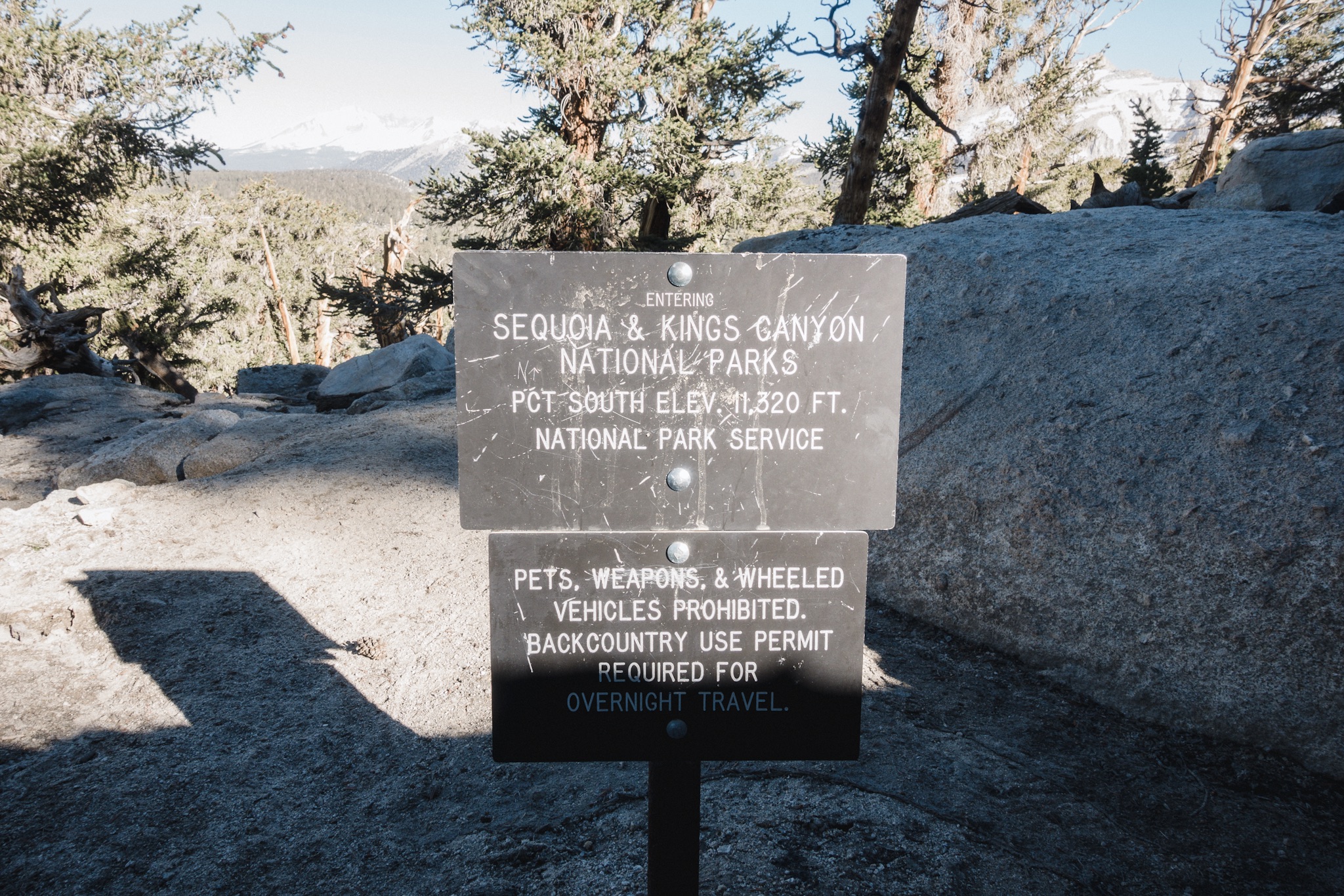
Morning climb.
Soon I see movement at the girls camp and I head over to get some of the foods I stored in KB's opsak. Soon we're on the trail.
At the river we see a note that Otter left us last night. She didn't know or see us at the lake as it's up from where the trail crosses the stream. She was headed few miles further from us, we should be able to catch up to her.
The trail climbs first and then starts to drop down to a valley down below. I can see green meadow down where we're heading. We have to climb few snow banks but the snow is not bad. Only few times we lose the trail.
Compared to the desert there's water everywhere. There are big and small streams coming down and sometimes covering the whole trail.

As I'm tired I soon fall into "the zone" where I just hike with not much attention on what's happening around me. The trail is easy but the elevation, we're at over 11,000 feet, makes breathing hard. I just concentrate on my feet and turn inwards, not even paying attention to what I'm listening on headphones.
Without realizing I'm at the half way marker. And there's a nice stream there. Time for second breakfast. As I'm stopping I notice Dandelion's there, with the same plan. Soon Fire Ant also joins us. KB and Fyre pass us as they want to break all the way down at the valley in a mile and a half.

After eating we start heading down as well. I stay for a little longer as I need to filter more water. My Sawyer is starting to get slow and even back flushing it in Lone Pine did no good.
Down at the valley I see a note left by the rangers that the Rock River is impassable from elsewhere except up at the meadow or at the Ranger Station. Looking at the map, that would mean a long walk on a boggy meadow before getting back on trail. I choose to ignore the advice and decide to go down and see if I can find a spot where to cross.

Ranger note.
As I get closer the river is indeed flowing hard and getting over seems unlikely. I walk downstream until I see a marker on the trail that says "Log" and an arrow pointing to the right. I follow the arrow and find an log that's going cross the river high up. It looks a little sketchy as falling to the raging river from that high would not end well.
Little upstream I see two logs down in the water but they are wet and look slippery. I can't find any other points to cross. I hate wet logs so I choose to get on the one high above the stream. I take out my other trekking pole for extra support.

Log crossing.
The log feels super sketchy but stable. I don't like heights or balancing so this is definitely out of my comfort zone. I get on the log and slowly start to get across trying to avoid looking and thinking at the river down below. I get across safely. Definitely got my heart rate up.
Little down stream I find the girls drying their shoes. KB and Fyre crossed the stream up at the meadow and Fire Ant and Dandelion at the wet logs.

We take a small break and then someone looks at the elevation profile for our next section. It looks like we're going straight up. Ugh. We start slowly climbing.

When you're the blue dot at the bottom.
At one point we come across Dragon and Andrew. They are heading back to Lone Pine and flip-flopping north. Dragon felt that the river crossings ahead were too much for her. It takes a lot of guts to listen to your instincts and turn back, I really admire her decision. You should never do anything out here you're not comfortable doing. They wish us luck and we continue.

Whitney Creek.
Soon we reach the Whitney junction and cross our third and last river. This one is wide but slow moving. It feels great to get to swim a little after a long hot day.
After a small pause to dry up our gear we continue to the campsite where we head out to summit Mt. Whitney tomorrow. It's all uphill and my legs are already tired. We see the top of Mt. Whitney and it looks intimidating. I keep thinking "we're climbing THAT tomorrow?".
We reach the camp and formulate the plan for tomorrow. Instead of trying to make the summit before sunrise, we decide to get some sleep and wake up at 3:30am and start climbing at 4am. It takes about five and a half to six hours to go up, and about four to get down. It's going to be a long day. I need some sleep.
As we're going to sleep a thunder storm sweeps over us and we get the second rain on PCT. It's great laying inside my shelter and listening to the rain drops. I can barely keep my eyes open. Tomorrow's going to be so much fun!
Sponsored by:
![]()